Department of Conservation - Conservation dogs

An ArcGIS Online data management system for the Conservation Dog Programme of New Zealand
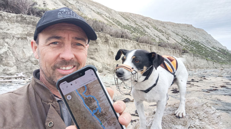
Having had a fully certified Pest Detection Conservation Dog on staff for the past 10 years, it was inevitable that we were going to create a GIS for recording, analysing and reporting her data.
Both Milly and ArcGIS Online have grown a lot since we first starting using them to eliminate rodents from sensitive ecological areas. What was "a handy system for keeping track of the dog" is now a comprehensive GIS for managing the data of the entire Conservation Dog Programme as they travel the country from the top of the North Island to the sub-Antarctic islands and every pest free area in between. There probably isn't a system in existence that has been so rigorously tested in the field!
A main component of the system is ArcGIS Tracker which is now fully integrated into the Field Maps app so there is no need to worry about turning off and on your tracklogs. Most of the work we do is on pest free islands, so the latest iteration of the app is programmed to start recording the dogs' tracklogs when they get within 30m of a pest free island (where we usually scope out the drop-off points) and stop recording when we leave the island.
As with every field app we create, "the dog app" works offline as its not often we have mobile reception where we work. This is tested to the extreme when we head down to the Chatham Islands where we can spend up to 3 weeks without a data connection. Then when we get to civilisation, the data syncs to the cloud seamlessly.


